
Designed for earthworks professionals, LevelGuide ensures you hit target grades the first time, eliminating overcuts and reducing rework. With high-end GNSS technology, custom-built hardware, and intelligent automation, you’ll move dirt faster, smarter, and more efficiently.
Precision, Efficiency, and Control—Every Time
When it comes to land levelling and civil earthworks, precision is everything. LevelGuide gives you complete control over every pass, ensuring accurate, efficient, and cost-effective earthworks with minimal rework and material waste.
Equipped with dual GNSS antennas for cross-levelling, LevelGuide allows operators to achieve seamless, automated control across scrapers, dozers, graders, and other earthmoving equipment. Whether forming contours, batters, drains, or bankless irrigation layouts, our TIN surface technology enables complex designs to be followed with pinpoint accuracy.
Why Choose LevelGuide?
With LevelGuide, professional contractors move more dirt, with greater accuracy, in less time—maximizing efficiency and reducing costs.
Streamline your operations with solutions designed to save time and money. Our advanced tools minimize resource waste, optimize workflows, and help you achieve more with less, improving your bottom line.
Experience unparalleled reliability and power. Our products are engineered to deliver outstanding performance, meeting the highest standards of quality and exceeding expectations in even the most demanding environments.
Adapt to any need with customizable display options. Whether it's size, configuration, or integration, our versatile solutions ensure you have the perfect fit for your unique requirements, every time whether it is for Agricultural Landlevelling or Bulk Civil Earthworks and land preparation.
Stay productive with technology built to keep up. Durable, lightweight, and designed for maximum portability, our solutions empower you to work seamlessly and efficiently, no matter where the day takes you.
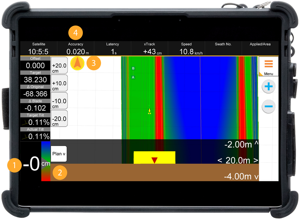
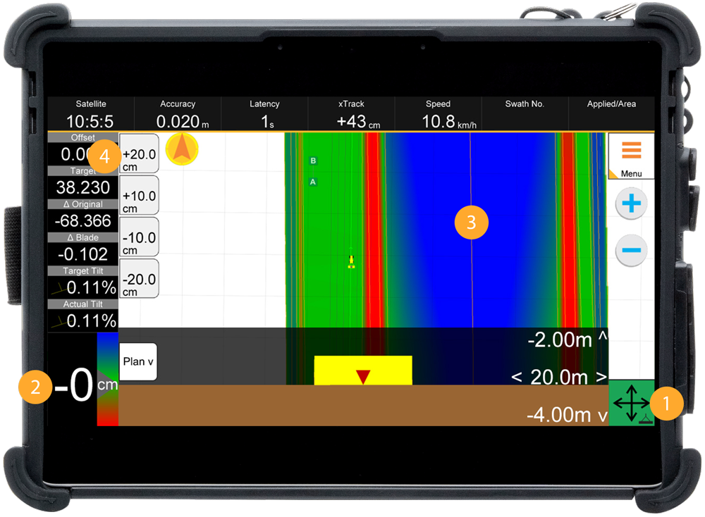
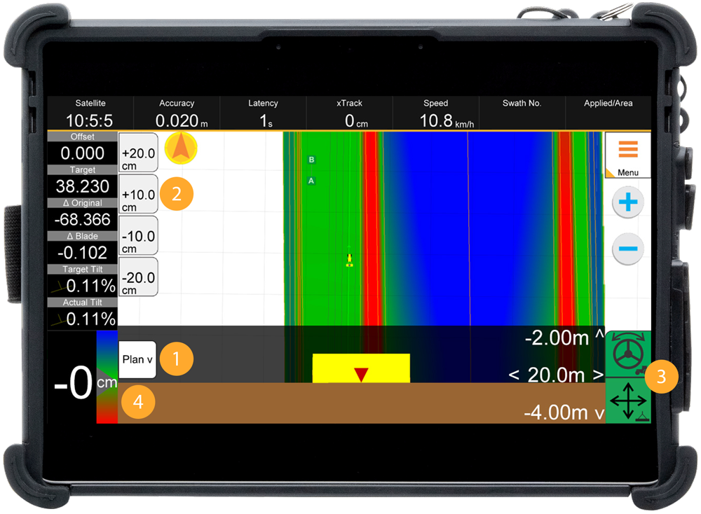
Take the guesswork out of earthmoving with LevelGuide. Our cutting-edge system delivers real-time data on target grades, blade positions, and elevation changes—all in a clear, concise format. The intuitive cut-fill color mapping enhances terrain visualization, ensuring precision leveling with minimal rework. Improve accuracy, save time, and reduce material waste with seamless data integration at your fingertips.
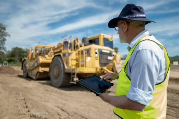
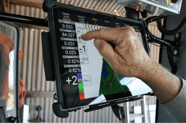
Simplicity meets power with LevelGuide’s intuitive controls. Designed for operators of all experience levels, our easy-to-read touchscreen displays and streamlined workflows eliminate complexity in earthmoving projects. Whether on a tablet or in-cab screen, the system provides instant feedback, ensuring effortless navigation, grading, and machine control—without the need for extensive training.
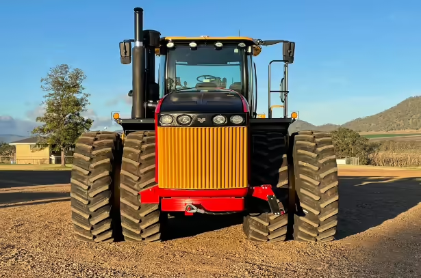
From dozers and graders to scrapers, tractors, and skid steers, LevelGuide adapts to any machine and any job site. Whether you're performing bulk earthworks, fine grading, or precision land leveling, our technology optimizes efficiency across industries. Achieve consistent, high-quality results with a flexible system designed to integrate seamlessly with a wide range of equipment.
Do More, More Often, with One Integrated System
LevelGuide by Precision Technology is designed to maximize performance and efficiency in every earthmoving project. Featuring purpose-built hardware, high-performance tablets, and industry-leading antennas and GNSS receivers, LevelGuide ensures unmatched accuracy and reliability in the toughest conditions.
With a custom algorithm delivering world-class precision, LevelGuide streamlines your workflow, reduces rework, and keeps you ahead of the competition. Minimize cab clutter, maximize visibility, and take full control of every pass—because when LevelGuide is in your tractor, your competitors are left in the dust.
Precision at Its Best
At Precision Technology, controlling tractors and buckets are our bread and butter—and LevelGuide takes them to the next level. With Steve’s passion for trimming dirt and Jason’s engineering expertise in electronic hardware and software design , they have built a solution that’s second to none.
From single-antenna setups to dual-antenna cross-levelling and even steering control while you trim your 1000 4000th swath, LevelGuide keeps you on target, every time. When it comes to accuracy, efficiency, and ease of use, just ask around—LevelGuide is the industry benchmark.
Elevate Your Grading Precision
Experience unparalleled accuracy with LevelGuide on your grader. Our advanced 3D grading system integrates seamlessly, providing real-time data and automated blade control to ensure every pass meets exact design specifications. Whether you’re fine-grading for roadwork or shaping complex contours, LevelGuide enhances productivity, reduces material waste, and delivers a superior finish that sets you apart from the competition.
With features like dual-antenna GNSS for precise slope control and an intuitive user interface, LevelGuide empowers operators to achieve optimal results with minimal effort. Upgrade your grader with LevelGuide and transform the way you approach every project.
Power Meets Precision
Dozers are built to move dirt, but LevelGuide makes sure they do it smarter, faster, and more efficiently. Our precision guidance system keeps your blade on grade, on target, and on time, reducing operator fatigue, minimizing rework, and delivering results that keep clients happy and the boss stress-free.
With seamless integration and intuitive setup controls, LevelGuide transforms your dozer into a precision earthmoving machine. Whether you’re building contour banks, batters, or bulk earthworks, our system ensures every pass is smooth, accurate, and effortless.
Book a demo or trial today—our team will come out and fit your dozer up so you can experience the difference.
Move More Dirt with Precision
Maximize efficiency and accuracy with LevelGuide on your scraper. Whether you’re bulk-moving material or fine-trimming to grade, LevelGuide ensures every pass is optimized for speed, precision, and minimal rework.
Equipped with dual GNSS antennas for cross-levelling, LevelGuide automates blade adjustments, reducing operator fatigue while improving accuracy. The system seamlessly integrates with your scraper, allowing you to hit grade the first time, every time—saving fuel, material, and time.
The vertical accuracy of the GPS is typically 20 to 25 mm. Combined with other inaccuracies associated with land leveling, such as hydraulic lag, tyre flexing, field trash and clod size, it is on a par with laser systems used in agricultural land leveling. Good accuracy means fewer passes to complete the job.
Yes, Levelguide can be used with most brands of GPS base stations that are found on construction sites. These base stations may have different GPS or radio settings than would not normally be used by Levelguide but it is highly likely the Levelguide Rover can be reconfigured to ulilise the signal.
LevelGuide is based around a cut and fill design package called Ezigrade and the Civil Design package, CDS. This package can be used to create simple designs with planes and ‘curved’ surfaces through to more complex ones with many multiple planes, banks etc.
Our tech support team at Precision Technology provides expert guidance and solutions to keep your operations running smoothly.
We’re always here to answer any questions you may have.